While the effects of the COVID-19 is far from over, Google continues to find ways to help assist in tracking affected areas. In the latest update of Google Maps, Google adds another layer of information, this time revealing critical information about COVID-19 cases on selected areas.
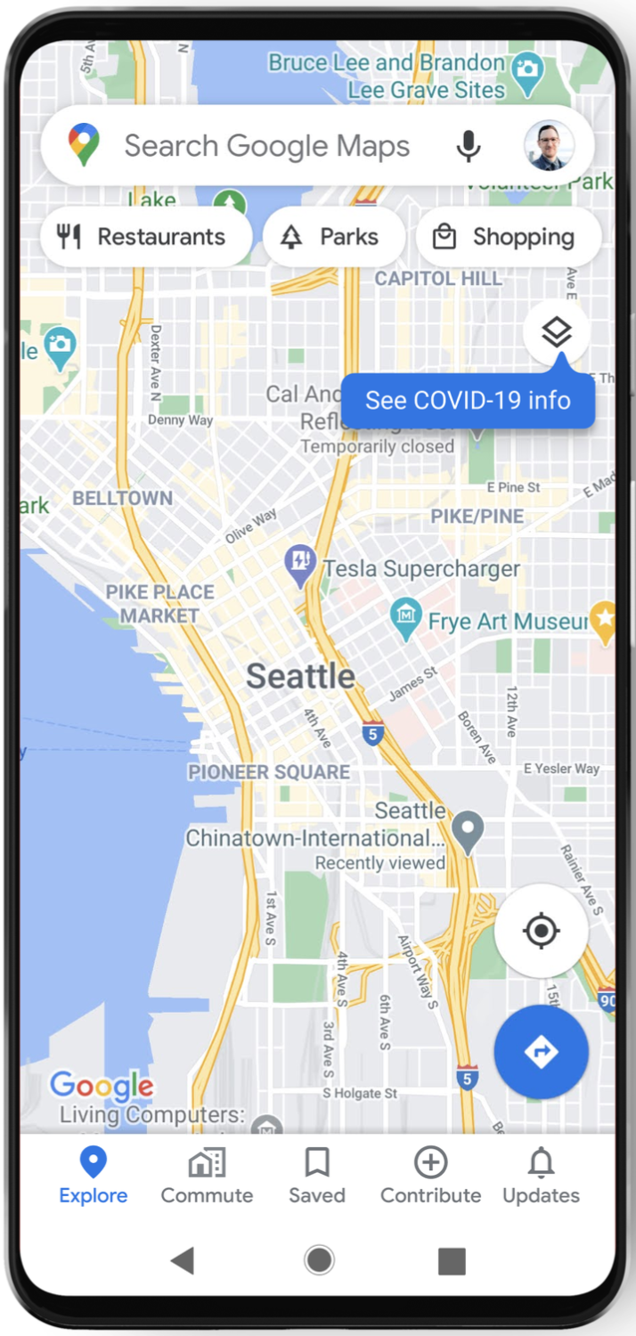
Labelled as COVID-19 info, clicking on the link will reveal a seven-day average of new COVID cases per 100,000 people for the area, along with whether the said area is experiencing an uptrend or downtrend. There will be colored labels to indicate the density of cases in the said area.
Trending case data is visible at the country level for all 220 countries and territories that Google Maps supports including the Philippines, along with province and city-level data where available. All data is gathered from authoritative sources like Johns Hopkins, The New York Times, World Health Organization, government health departments, along with local health agencies and hospitals.
This is among the many efforts Google has been doing in tracking COVID cases. Prior to this, Google has partnered with Dashboard Philippines, DoH, and Senti AI for better gathering of COVID-19 data.