Helpful for social distancing measures
With many countries opening up and loosening restrictions on movement because of COVID-19, it’s becoming increasingly more challenging to adhere to social distancing measures recommended by the World Health Organization, especially when taking public transport.
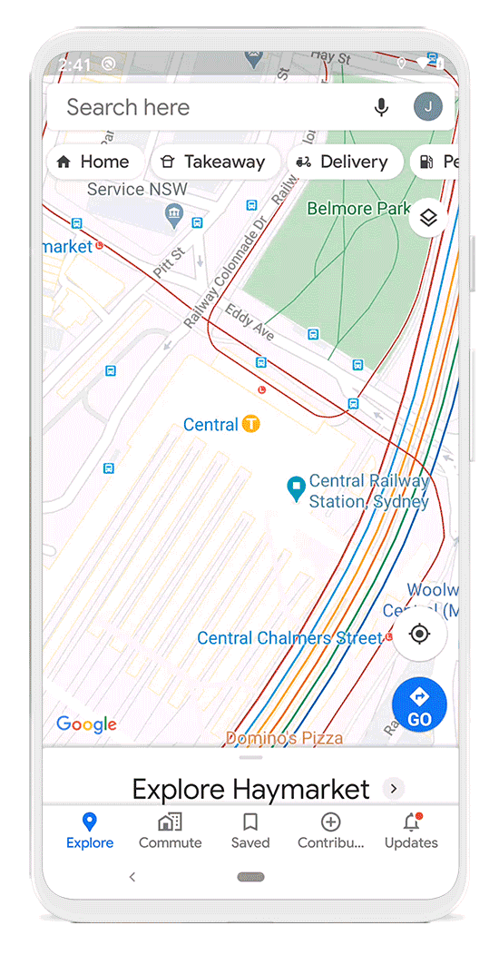
Google is rolling out a new feature in Google Maps that shows how crowded a train or bus station is and will let you know if either mode of transport is running in a limited capacity.
Last year Google introduced crowdedness predictions for public transport in Google Maps, and Google is now making it simpler for people to contribute to that information for their transit lines.
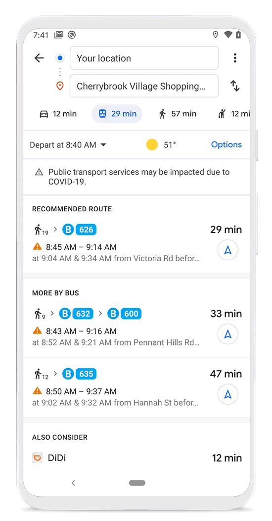
You’ll now also be able to see when a station is more or less busy so you can plan your journey ahead of time, or if you want to postpone your trip for a later date.
Social distancing measures have been proven to curb the spread of the virus since droplets from people who have COVID-19 only travel a limited distance. The new update is currently being pushed to Argentina, Australia, Belgium, Brazil, Colombia, France, India, Mexico, Netherlands, Spain, Thailand, United Kingdom, and the U.S., with more countries coming soon.